|
Article Review by Coline Meynent Estuarine Landscape of the ThamesTopos European Landscape Magazine, vol 75, 2011
While the bulk of Thames’ estuarine landscape lies to east, the river itself is tidal throughout the hole central of London, stretching westwards as far as Teddington. Since 1984, the central London has been protected from the threat of tidal surge by the Thames Barrier, which has been brought into use with increasing frequency over the intervening years. It might be assumed that areas most at risk from tidal flooding would be found close to the open sea, threats exist throughout the system, including at the upper limit of the tidal reach with regular flooding of properties on island and in riverside communities. The most extreme tidal conditions are caused by a combination of the high tidal ranges that occur at the spring and autumn equinoxes and high winds in the North Sea. During surge conditions, the Thames Barrier can be raised to block the passage of excess volumes of sea water from reaching the upper tidal stretches. The Thames in West London not only has to contend with tidal loadings but also, in storm conditions, with significant fluvial and surface water loadings. Heavy rains int the catchments of the Thames Valley result in massive volumes of water passing down he river channel. These volumes are then further loaded with surface water run-off from the local urban catchments within London. Closing the Thames Barrier, while offering protection against tidal surge, also has the effect of creating a back-up of fluvial and surface water within the channel. Climate change modelling predicts that these conditions will grow worse over the next decades. Approach
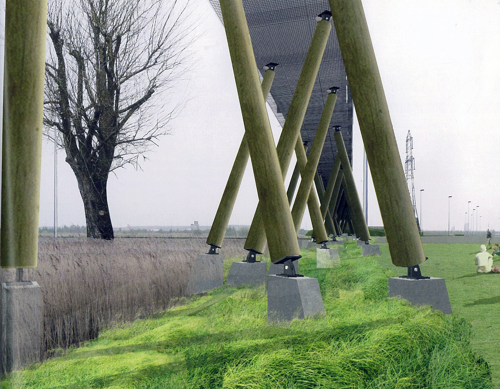
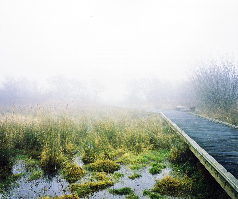
The first step of the project is the prediction of flood events to try to know the volume of water being added to any given system under certain conditions of weather and how the water will be distributed spatially over time. These forms of abstract modelling and risk prediction should be taken as a key prompt for planning of the flood infrastructure. The major study made by the United Kingdom Environment Agency is named Thames 2100. The main idea of Thames 2100 is the need to develop an adaptable long term plan in the context of a changing estuary forward the next 100 years. The Thames is changing in relation to its climate, people and property in the floodplain, and an essential but ageing flood defence system. In the outer estuary, the earth banks are also recognised for the unique habitats that they support. The integrity of this embankments are threatened by the encroachment of sea and the anticipated effects of climate change. The grassland hots nationally rare plant species such as the least lettuce and sea club-rush, together with meadow brown and Essex skipper butterflies. Current works on the Inner Thames Marshes to north and south of the river have begun a process of reinstatement of the open landscape to support better surface of water flood management, enhanced wildlife habitats and public access. Scale From Teddington to Essex through the Thames and its estuary, many interventions are proposed. Because of this large scale, the project has to deal with the specificity of the landscape on several areas. Following the last centuries, the interventions on the banks and the dikes and the urbanisation have been managed in different ways. The Thames has also many tributaries. They have to be considered because they are provided with tidal valves at the point where they meet the river. These “locked” tributaries can only discharge to the Thames for a period either of low tide. This can give serious flooding problems on the land-side of the Thames river wall as the tributaries are full and tide levels are raised, as they are during tidal surges. Program At Erith, the project provides a re-profiling of dykes and culvert clearance to create better conditions for free flow of surface water and enhanced habitats. A new series of public access paths and infrastructural links is set to restore the historic link between Rainham village to the Thames. This will include a new café on the site of the old public house and tea rooms. Alongside this access, the project will also provide farm management infrastructure to support the reintroduction of livestock to the marsh. New ditches and reed beds created in the landscape by adjustment of grounds levels will provide enhanced wetland habitats and allow better hydrological performance. How One strategy adopted to replace the lost habitats is that of managed retreat. This has been effected in a number of locations. In this strategy, the sea walls are breached, allowing to the sea to reclaim the freshwater grazing marsh and established the fully saline habitats of a natural salt-marsh. It has been established that if a similar strategy of managed retreat were to be adopted on the inner reaches of the estuary, the resulting open landscape could alleviate the problem of tidal surge. It would offer saline reservoirs to receive the excess of water present in the river corridor. The first argument against this strategy is the desire to retain the freshwater wetland and wet grassland habitats. Secondly, with this strategy, the more settled landscape in the inner reaches of the estuary would require the construction of many miles of new flood walls to protect existing areas. Challenges and opportunities The opportunities safeguarded as the result of planning policy, which ruled out new urban development, should not be taken forward as a creeping suburbanisation of this landscape. Those characteristics of experience and use that link London’s “local” marshes to the wider estuarine landscapes should be recognised, and we should seek to value and support their qualities of wilderness, happenstance, contingency and flux. The prediction of flood events and its possible consequences are the main support to lead this project. But we can easily wonder how the actions that we take now with the respect to landscape and urban planning can reflect adequately the full range of possible scenarios. Image References http://www.bdonline.co.uk/buildings/rainham-design-for-london’s-projects-near-fruition/5009111.article |
